First Published UAV study in Hornsund, Svalbard
Our research paper titled "Applying UAV-Based Remote Sensing Observation Products in High Arctic Catchments in SW Spitsbergen" presents a novel approach to monitoring and analysing the hydrological systems in High Arctic catchments.
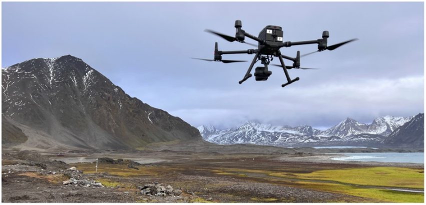
Our study utilizes unmanned aerial vehicles (UAVs) to capture high-resolution images of the terrain and collect data on soil moisture, vegetation cover, and snowpack.
The data obtained from our UAV-based remote sensing observation products allows for the identification of the main hydrological flow paths and provides insights into the surface water and landform dynamics of these remote areas. This research has important implications for understanding the impacts of climate change on Arctic hydrology and geomorphology. The results allow us to improve the accuracy of hydrological models.
Do not miss the opportunity to learn about this drone and its applications in Arctic research by reading our paper: https://www.mdpi.com/2072-4292/15/4/934.


